Flood Resilience Strategy: case studies
Examples of diverse initiatives around Scotland that are in some way contributing to our flood resilience.
Theme 2: Places
Case Study 6: Croftfoot Primary School SuDS retrofits – Supporting educational opportunities on surface water management
Retrofit sustainable drainage measures have been introduced into a school playground at Croftfoot Primary School in Glasgow, managing flows which were previously directed to the sewer network. As well as managing flood risk, wider surface water management measures have also delivered benefits to local communities through the creation of amenity space and improved biodiversity.
A swale has been formed at the school to collect runoff from the playground area, and new drainage introduced to gather runoff from roof downpipes, all of which is conveyed to below a new multi-use games area (MUGA). The MUGA has a permeable surface and storage below it to attenuate the surface water runoff, prior to discharge to the Spittal Burn culvert on Croftpark Avenue. By diverting rainwater from the combined sewer, the risk of sewer flooding in the lower catchment is reduced and drainage capacity is created to facilitate regeneration.
An outdoor amphitheatre area has also been formed, a feature which combines sustainable drainage with flexible play space. This brings together an outdoor learning area for pupils with a storage area which provides additional capacity during large storms when the storage under the MUGA is exceeded. Once the storm event passes, the amphitheatre drains down by gravity over the course of a number of hours.
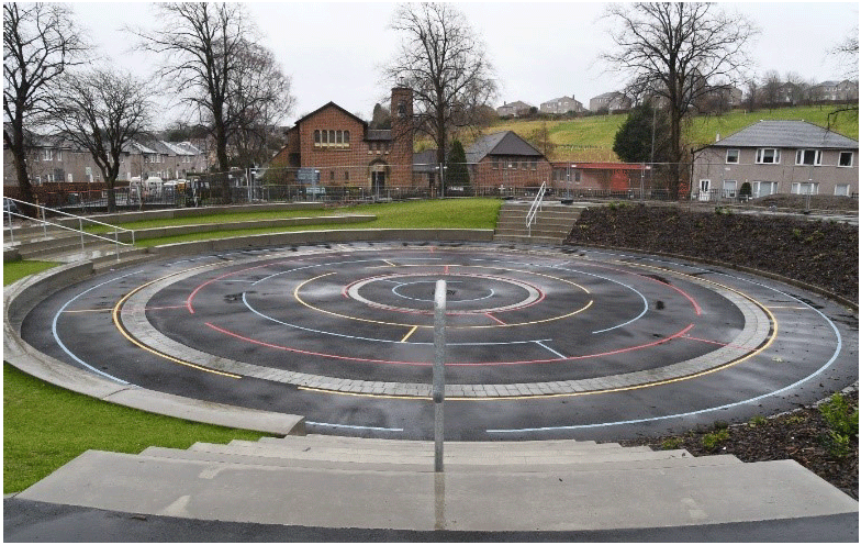
Image provided by Glasgow City Council
The project has provided the opportunity for Glasgow City Council to engage with local students and to create a fun learning experience, whilst ensuring they understand the multiple benefits of these innovative solutions.
Further details can be found at the Glasgow City Council website.
Case Study 7: Eddleston Water – Natural flood management in action
The Eddleston Water project is a unique long-term study investigating the effectiveness of natural flood management (NFM) techniques and habitat restoration measures at a catchment scale. A series of measures have been introduced which enhance flood resilience through the restoration of natural processes that slow water flows and, increase the amount of water stored in the landscape.
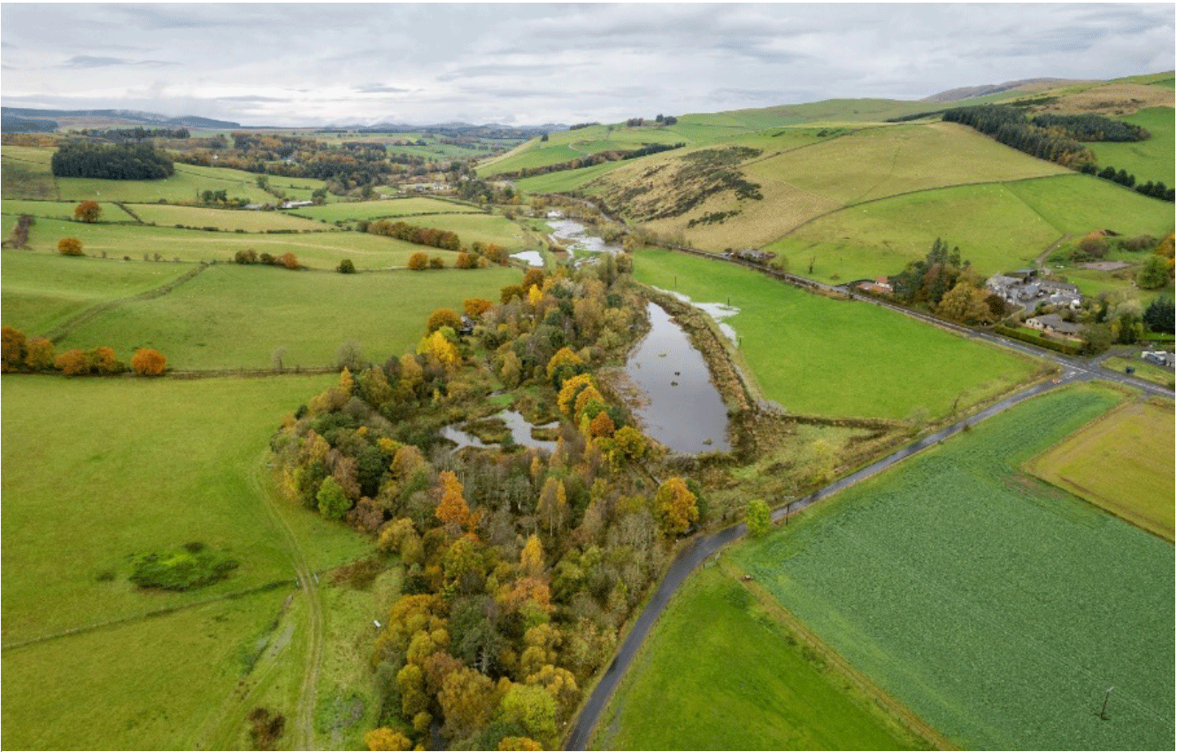
Image provided by the University of Dundee
Working closely with 22 landowners, a wide range of NFM measures were implemented across the 69km2 catchment. This includes extensive tree planting in the headwaters and along the riverbanks (>330k native trees); placement of engineered log-structures to slow the flow (115); creation of temporary flood storage ponds (38); and re-meandering historically straightened river channels (3.5km) and reconnecting with the floodplain.
Underpinned by extensive activities designed to collect data and provide hydrological information, using both observed and recorded data, the findings suggest that NFM effectiveness works well in small catchments and at lower levels of flood intensity.
Cost-benefit analysis was carried out to evaluate the efficiency and desirability of such NFM projects. The findings suggest NFM can provide good value for money and be implemented alongside other structural flood protection measures. In this instance, they delivered a minimum of £950k present value (PV) from flood damages avoided downstream; a figure that can be doubled to account for other damages and recovery costs, and an additional £4.4million PV from biodiversity, carbon management, water quality, recreation and other benefits.
Further details can be found at the Eddleston Water website.
Case Study 8: Flood Forecasting – Monitoring and preparing for flooding
SEPA is the Flood Forecasting and Warning Authority in Scotland. Working in partnership with the Met Office, SEPA produces a range of products to give advanced notice of flooding impacts across Scotland to Category 1 and 2 civil contingencies responders as well as the public. This is illustrated here for a flood event in early October 2023.
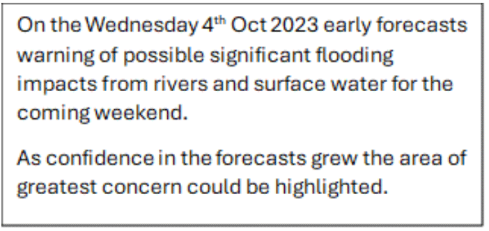
Image provided by SEPA
SEPA has worked with the Met Office since 2011 combining both organisations expertise and information to jointly produce a daily Flood Guidance Statement, giving responder organisations an early heads up to potential flooding up to 5 days ahead. Responders use the guidance to plan resources, prepare for escalation and check known hotspots in advance of weather arriving.
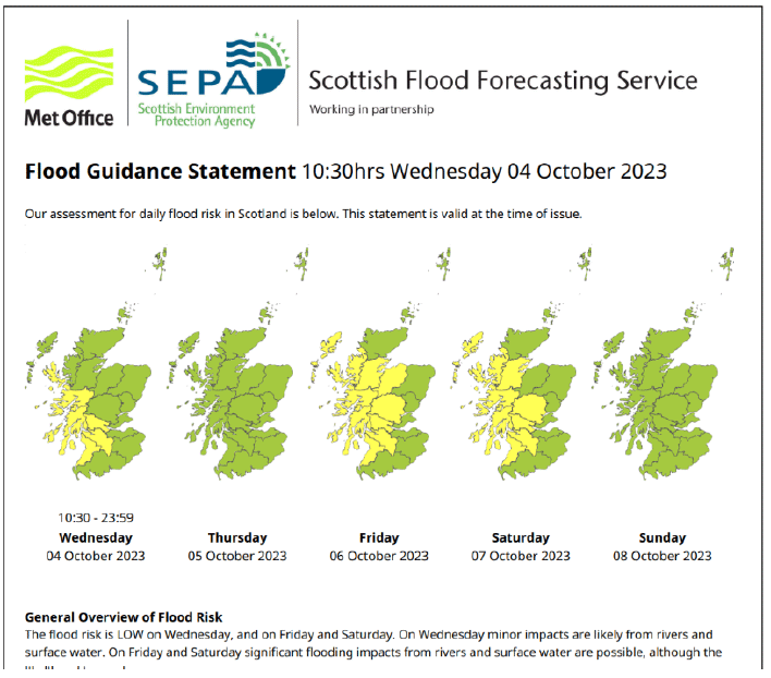
Image provided by SEPA
Since February 2023 a public version of the daily guidance is shared publicly on SEPA website. The Scottish Flood Forecast provides a 3-day flooding outlook to give an early heads up of potential flooding to communities. This allows everyone to see what is forecasted and plan ahead. It can reassure people if no flooding is forecast. It can help people plan travel and activities further ahead. Below is the Scottish Flood Forecast of 6 October 2023.
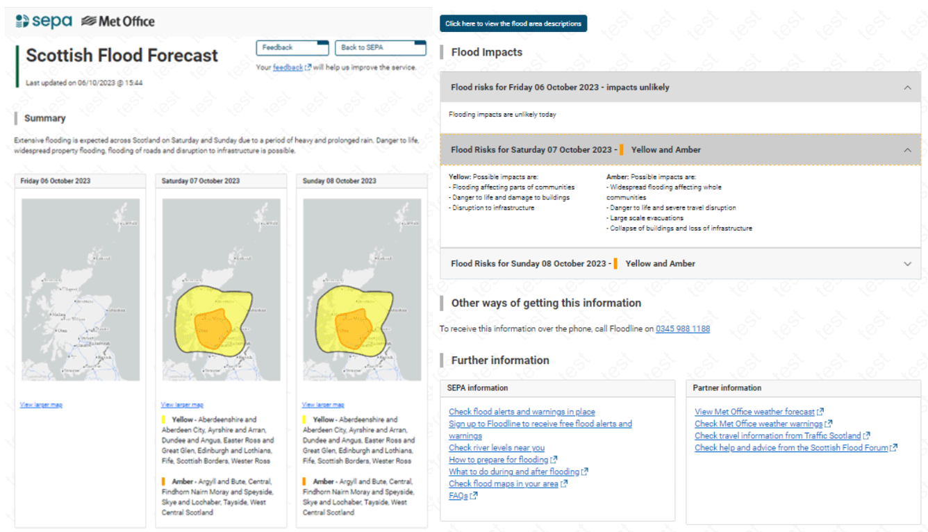
Image provided by SEPA
Regional Flood Alerts are messages sent out people who are registered on SEPA’s Floodline service up to 48hrs ahead of potential flooding impacts. They indicate that flooding is possible. Notifications of Alerts can be received by telephone, SMS and email.

Image provided by SEPA
Local Flood Warnings cover smaller, more targeted areas and warn that flooding is expected. Local Flood Warnings are only issued where SEPA is able to monitor river and coastal level and has a formal flood warning scheme. They are generally issued 3h to 6h in advance of expected impacts. The messages provide information about local extent of flooding (e.g., which street may be affected) and timing. They give communities time to prepare and take action, such as avoid travel and put in place property level protection.
Many communities have developed resilience groups who use this information and have active groups on social media to share local information, like when roads are impassable or offering support to deliver food and medicines, support to clean up after the worst has happened. Flood update Aberfoyle | Facebook

Image provided by SEPA
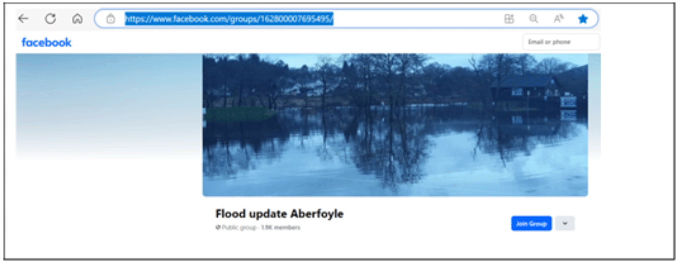
Image provided by SEPA
Case Study 9: Peatlands – Adaptation by slowing the flow of water in upstream catchments
Scotland has a significant area of peatlands and they are critical to mitigating and adapting to the linked climate and nature emergencies. Peatlands cover around 2 million hectares (or 25%) of Scotland and are of national and global significance. 60% of all UK peatlands are found in Scotland, and our blanket bogs represent around 10% of the global total. If in good condition, peatlands provide many benefits: capturing and storing carbon, supporting nature, reducing risks of flooding and wildfires, and improving water quality. Healthy peatlands therefore have a central role in mitigating and adapting to the linked climate and nature emergencies.
Scotland’s peatlands are mostly degraded and are now a net carbon source rather than sink, with around three-quarters degraded through drainage, extraction, overgrazing, burning, afforestation and development. In 2022, degraded peatlands were responsible for around 16% of Scotland’s total net emissions.
Protecting, managing and restoring degraded peatlands through ditch-blocking, bare peat restoration, herbivore control and other techniques restores the benefits they offer and enhances the resilience of peatland ecosystems and their ability to adapt to the changing climate.
In Scotland we have made world-leading peatland restoration targets and funding commitments. The Scottish Government has committed funding to restore 250,000 hectares of degraded peatlands by 2030. In addition to contributing to our climate change targets and net zero ambitions by capturing and storing carbon, restoring Scotland’s peatlands will provide many additional benefits: supporting nature and biodiversity, reducing risks of flooding and wildfires, and improving water quality.
An example of a peatlands restoration project can be found on the NatureScot website.
Contact
Email: Flooding_Mailbox@gov.scot
There is a problem
Thanks for your feedback