Scotland's New National Park Appraisal Panel: final report
This report includes the Appraisal Panel’s advice to Ministers on the extent to which nominated areas meet each of the criteria for consideration for designation as new National Parks.
Appraisal of nominations
This section summarises the comments from the panel in relation to each nomination. Table 4 summarises key facts for each nomination, including the nominating group, relevant local authorities, the size of the proposed area and the estimated population. Population data is presented as a range (upper and lower bounds) as the data zones used to calculate population cut across the edges of the proposed areas. The upper range includes the population in all data zones within and partly within the proposed area and the lower range includes the population in the data zones which are fully within the proposed area. The maps used in this section were submitted by the nominating groups.
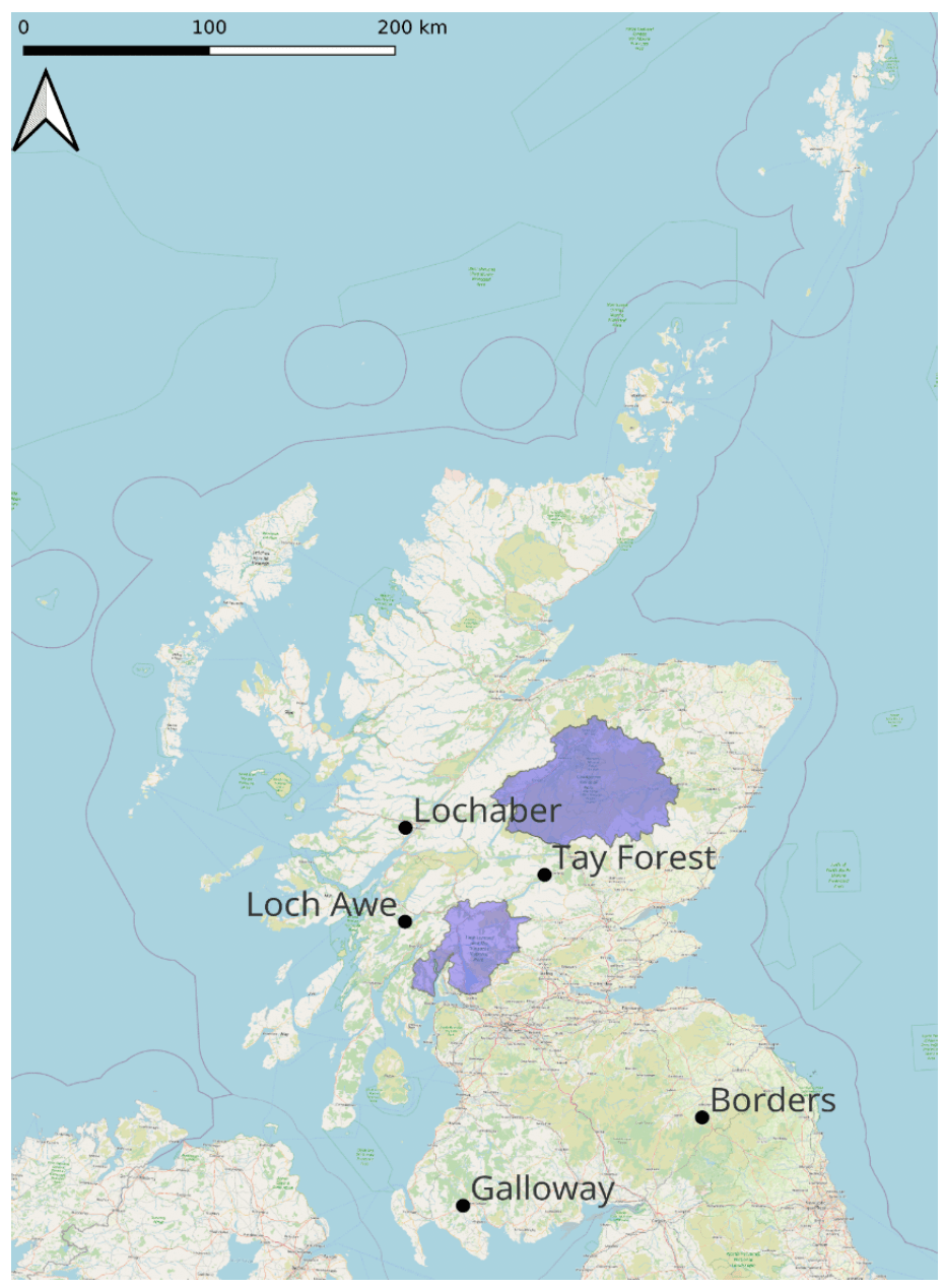
The location of the five nominations is summarised in the map below. The purple areas of the map denote the location of the Cairngorm and Loch Lomond & The Trossachs National Parks
Nominating Group |
Relevant Local Authorities |
Size of nominated area (Hectares) |
Population (lower and upper bounds) |
|
|---|---|---|---|---|
Galloway |
Galloway National Park Association and Galloway and Southern Ayrshire UNESCO Biosphere |
Dumfries and Galloway, |
347,000Ha |
25,000-68,000 |
Lochaber |
Lochaber National Park Working Group (LNPWG) |
Highland |
465,000Ha |
5,000 – 26,000 |
Loch Awe |
Kilchrenan Community Council National Park Loch Awe Sub Group |
Argyll & Bute |
92,000Ha |
7400 (Upper range) |
Borders |
Campaign for a Scottish Borders National Park |
Scottish Borders |
136,000Ha |
17,000 - 40,000 |
Tay Forest |
Perth and Kinross Council (PKC) |
Perth & Kinross |
290,000Ha |
9,500 - 37,000 |
Contact
Email: NationalParks@gov.scot
There is a problem
Thanks for your feedback